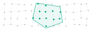
Where?
Geo-objects and measurements in one shared spatial reference. Areas can be cut freely, from a single site to an entire country.
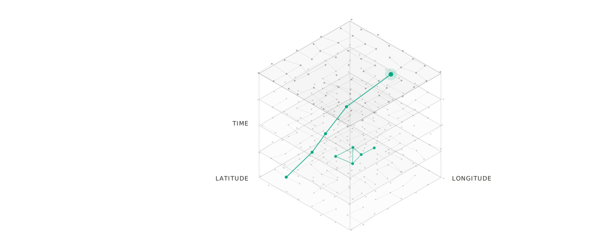
Makor Atlas combines GIS and DataCube. Geodata is held as a cube of space, time and attribute and can be queried, filtered and analysed in real time, even when the datasets become very large.
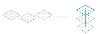
A DataCube organises geodata along three axes. An analysis selects a section on each axis: an area, a period, a measure.
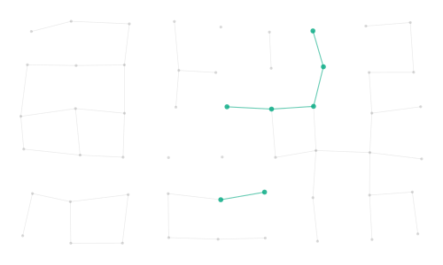
Geo-objects and measurements in one shared spatial reference. Areas can be cut freely, from a single site to an entire country.
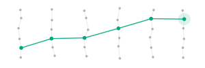
Every value carries its point in time. Time series, movements and changes can be queried as easily as a place on the map.
Measurements, classes and attributes sit as separate layers in the cube and can be combined, such as weather, traffic and situation.
Positions, sensor values and events flow continuously into the cube. Analyses and maps update with them instead of waiting for the next nightly run.
Current data and history sit in the same cube. Comparing with yesterday is one query, not a project.
Classic GIS tools slow down as soon as millions of objects and long periods come together. Makor Atlas is built for exactly these volumes.
A query only reads the part of the cube it needs: this area, this period, this measure.
The same analysis runs on one street and on an entire country, without exporting the data first.
More areas, longer periods and new attributes extend the cube without rebuilding queries.
For the Greeks, Atlas carries the heavens; since Mercator, every collection of maps bears his name. Makor Atlas is both: many maps over time, and what carries them.
Atlas gives the AI place and time. Language models and agents answer questions such as “What has changed in Zone North since yesterday?” on the basis of the cube of space, time and attribute, with a source for every value.
Talk to us about your geodata and the questions you cannot answer quickly enough today.
Contact info@bonn-systems.com